The beaches of Galloway, Long Island, Bahamas - The Beaches of Long Island
The Beaches of Long Island
The Beaches of Long Island
The beaches of Galloway, Long Island, Bahamas
Near South > Clarence Town Area
Road Map not available due to cloud cover
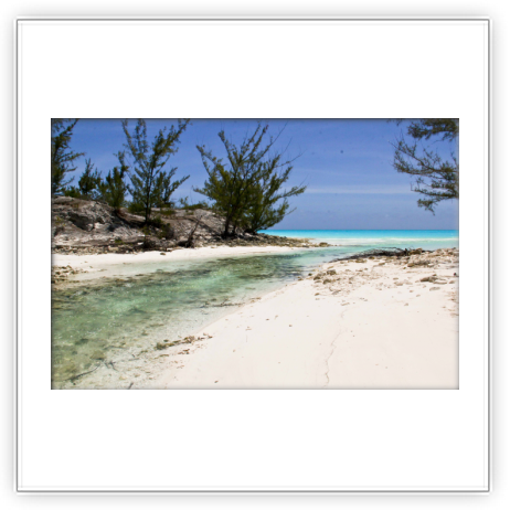
DIRECTIONS: Heading south: After the hard 90o turn that the QH makes in Clarence Town, you’ll pass two ponds on the right. There will be a paved road to the right that gently angles off the QH. This is the road to Galloway. Heading north: As you approach Clarence Town, there will be a large pond on the left, and in fact the first pond on the left from Gordons. At the end of this large pond, the hard road to Galloway will angle sharply to the left from the QH. There is a north and a south beach at Galloway. There will be a bridge over a small bit of water. On the other side of this bridge, you can go straight to the northern beach or make a right on a sand road that follows a brackish inlet. The road following the inlet makes a gentle 90o bend to the right and then follows the northern most sluice of the old salt works. Continue straight along the sluice to the small southern beach.
There is a bridge over the sluice that in 2017 had been used as evidenced from the tire tracks in the sand on the other side. However, some of the supports are missing. If you decide to cross in a car, you do so at your own risk. If you decide to cross, you can go about half a mile further south and that's it as the next bridge that would have allowed access to the beach all the way down to the salt works itself was destroyed by a long ago hurricane.
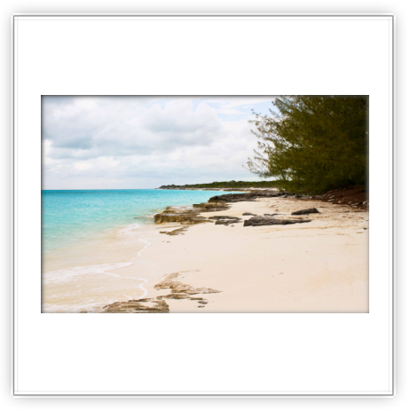
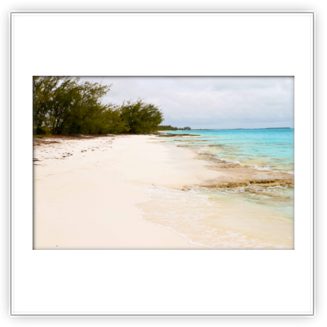
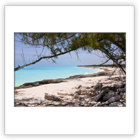
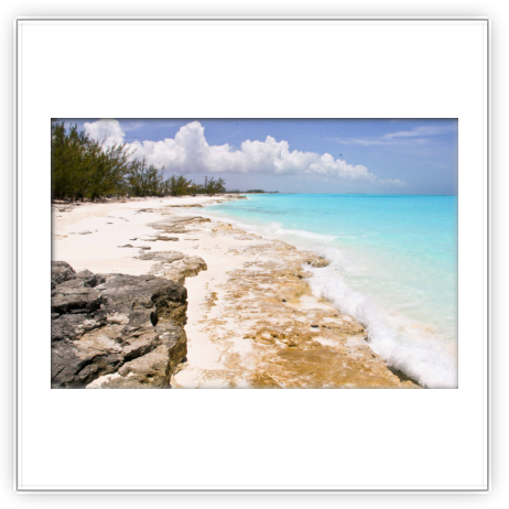
Although both beaches are rather small, they are popular among the residents as the casuarina rimmed beaches provide excellent shade and make for wonderful afternoon or evening picnics. And much of that popularity may result from them being the first Caribbean side picnic beaches that you get to after Deals in the far north. There can be a strong current in the sluice along the road at the southern end. In the absence of a water park (I know how ridiculous that sounds on this island), this is often used as a ‘water slide’ by the youth. We’ve only stopped by the northern beach to take a quick ‘look see’ and although we have driven down to the south beach, didn’t snap any photos.
