South Salt Pond Beaches, Long Island, Bahamas - The Beaches of Long Island
The Beaches of Long Island
The Beaches of Long Island
South Salt Pond Beaches, Long Island, Bahamas
Near North > Greater Salt Pond
amphitheater, Salt Pond, Long Island, Bahamas
View of the Amphitheaters. Taken on our first trip to Long Island, Salt Pond, and the amphitheaters back in 2011.
The 2'x3' version is hangin up in our 'Bahamas Room". Timing is everything. And luck.
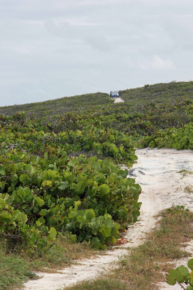
DIRECTIONS: Another easy one. Almost as easy as getting to Harding’s beach. In Salt Pond, turn onto the paved road next to Harding’s grocery store (now closed) and across from the dock. As soon as you cross the ridge the road goes to sand (deja vu?). At the bottom the road goes between Crystal Lake to the north and the great Carmichael Pond to the south and the road divides. Rather than going straight which would take you to Harding’s beach, go right which will take you past Carmichael Pond and eventually to Whelks Cay. For simplicity, I’ll call this the Whelks Cay road. After this...
You have several options:
- For the amphitheaters and beaches B and C, at about 0.4 miles, there will be a sand road to the left. Take this to get to these beaches. In about 600', the road will ‘divide’. To get to the amphitheaters and the north end of beach B, go left. There will be a parking area in about 150'. To get to the southern end of beach B and the northern end of beach C, go right on the dune road. This is to the promontory separating beaches B and C and to the promontory separating C and D. Be forewarned, the sand at the C/D parking area is soft.
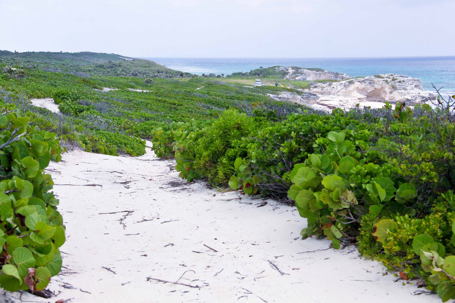
- For the southern end of beach C and beach D, you can use the dune road above or continue along the Whelks Cay road. In about 0.6 mile (total 1 mile from the turn off Harding’s road onto Whelks Cay road), there will be an access ‘road’ to the top of the dunes and to the promontory that separates beaches C and D. This sand may be a bit too soft to drive. But it is an easy walk. If you decide to park, park as best you can off the main road as the access point is in a somewhat nasty bend in the road.
PLEASE REFER TO THE EARTHVIEW MAP. This should make things clearer.
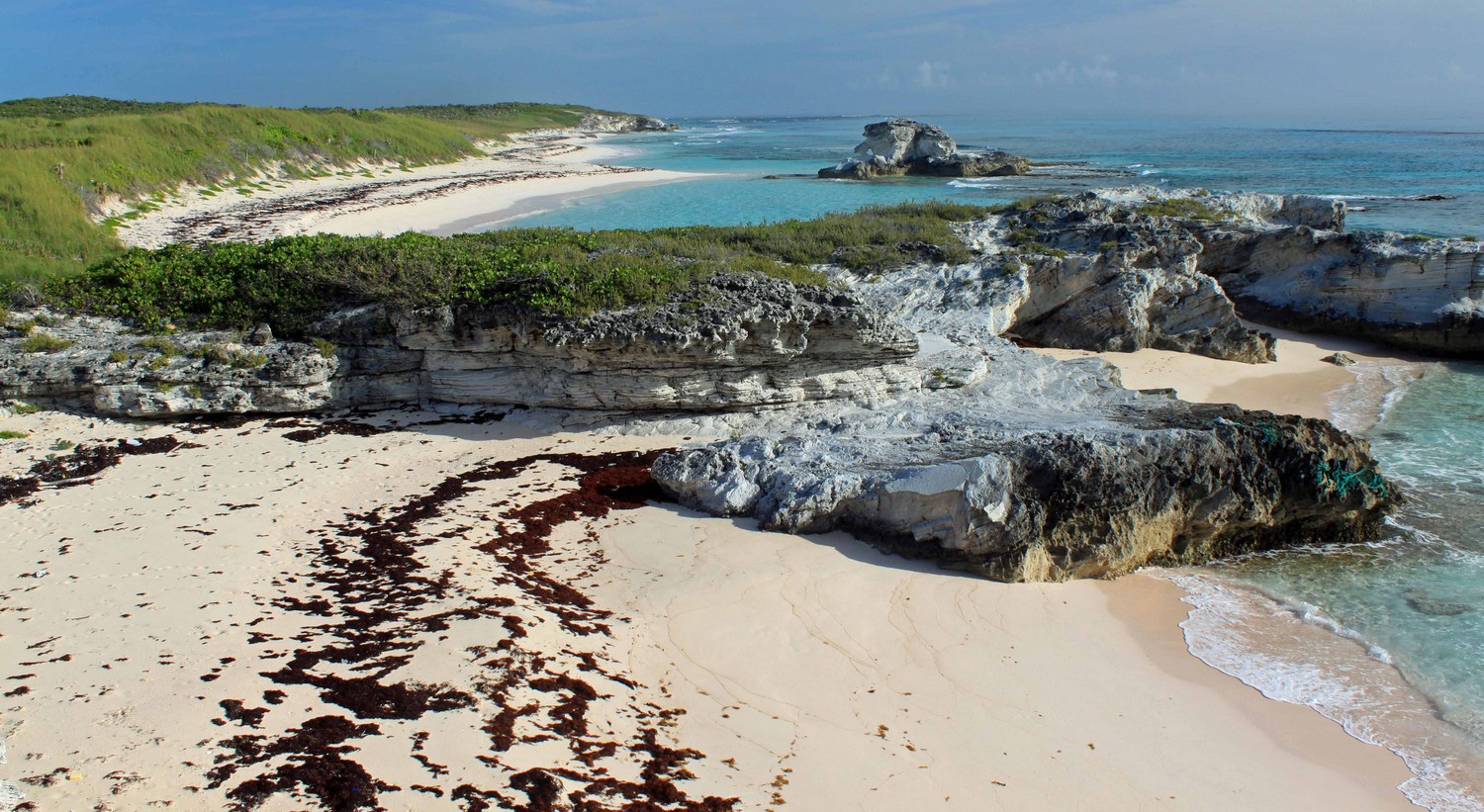
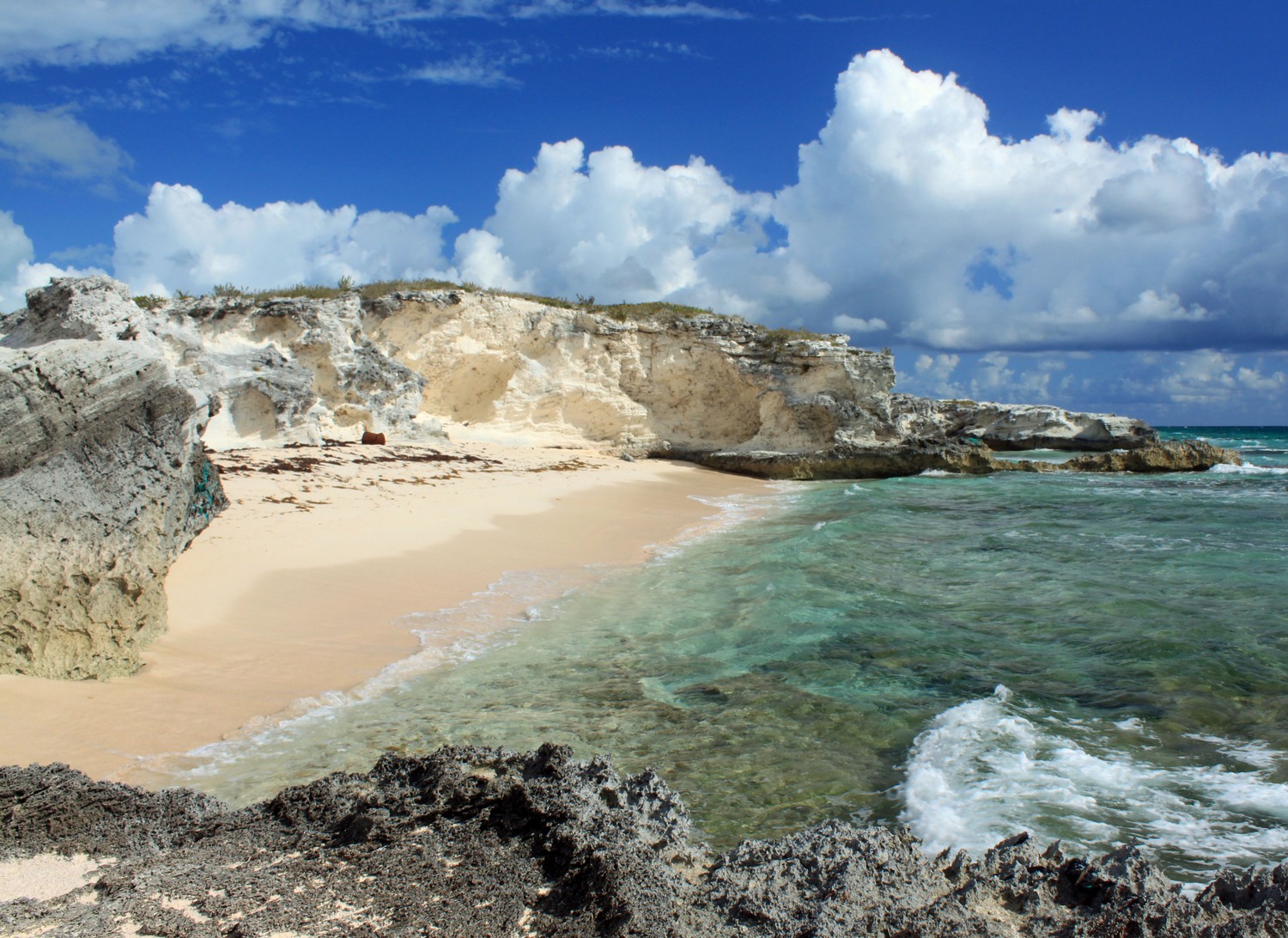
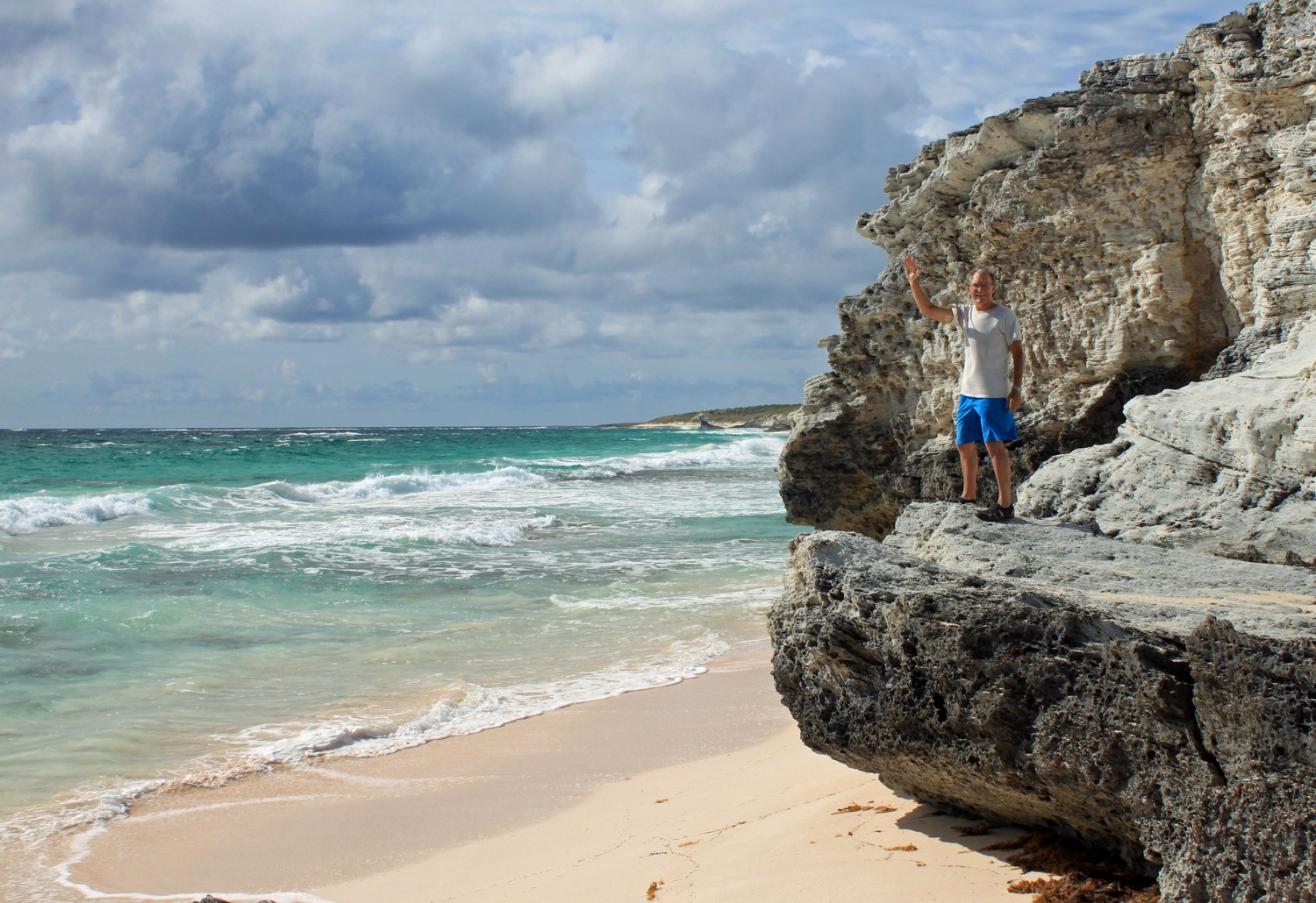
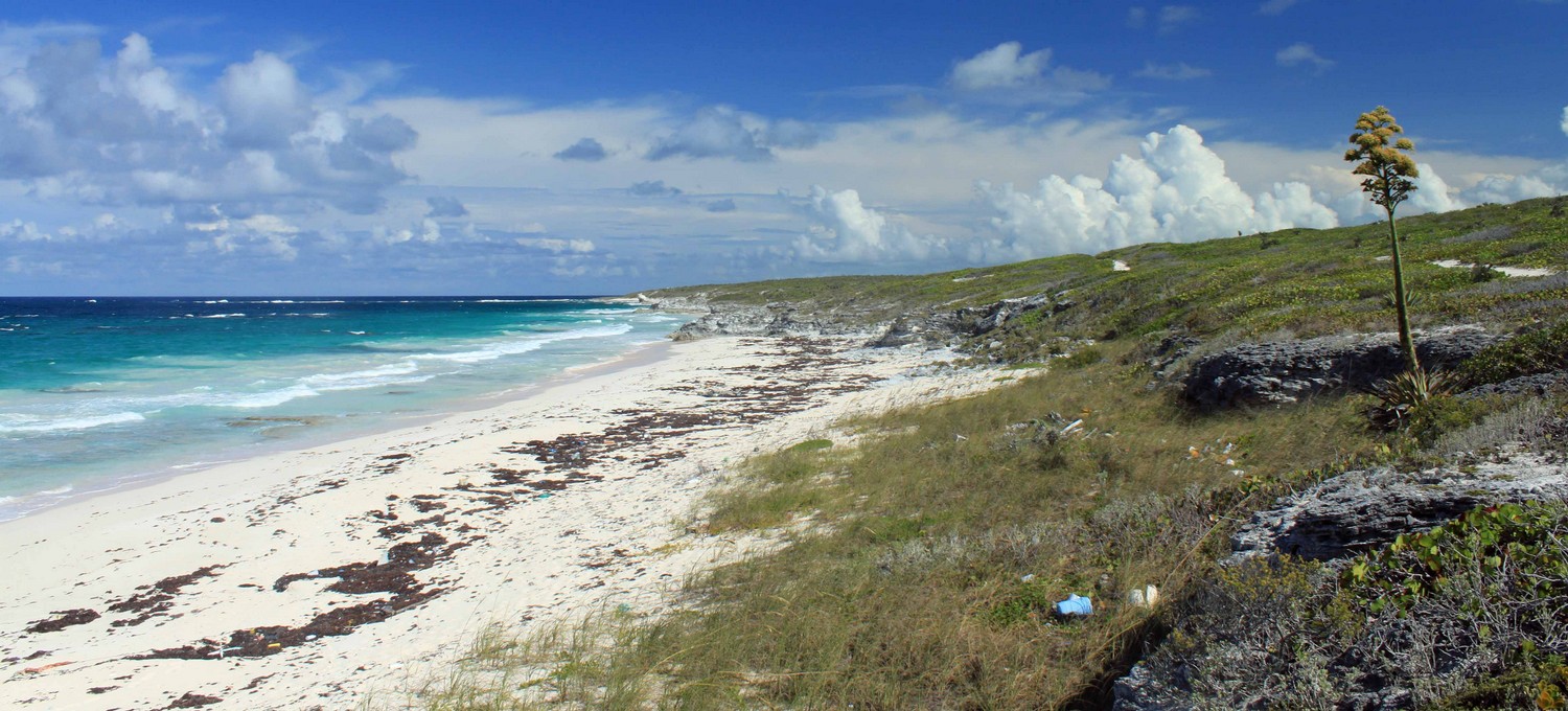
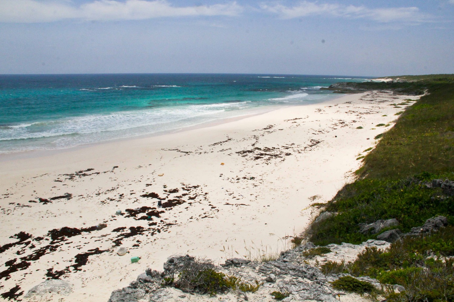
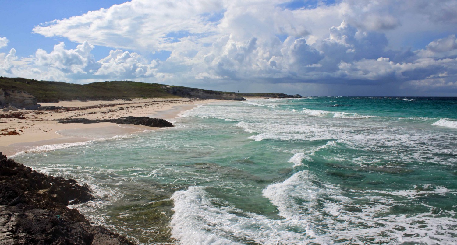
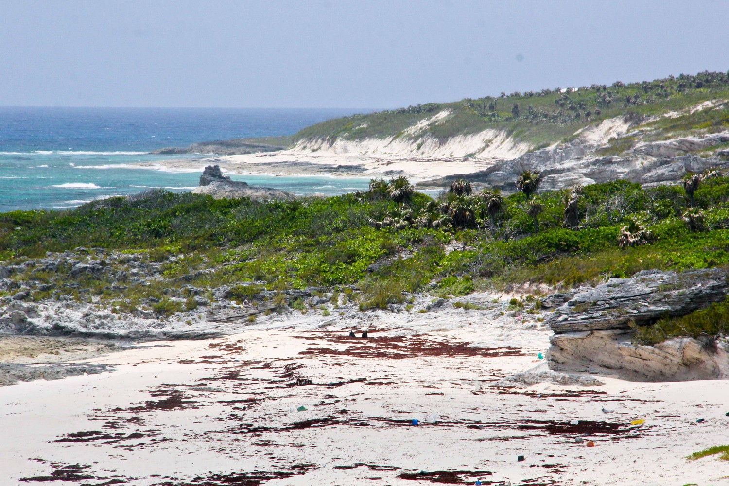
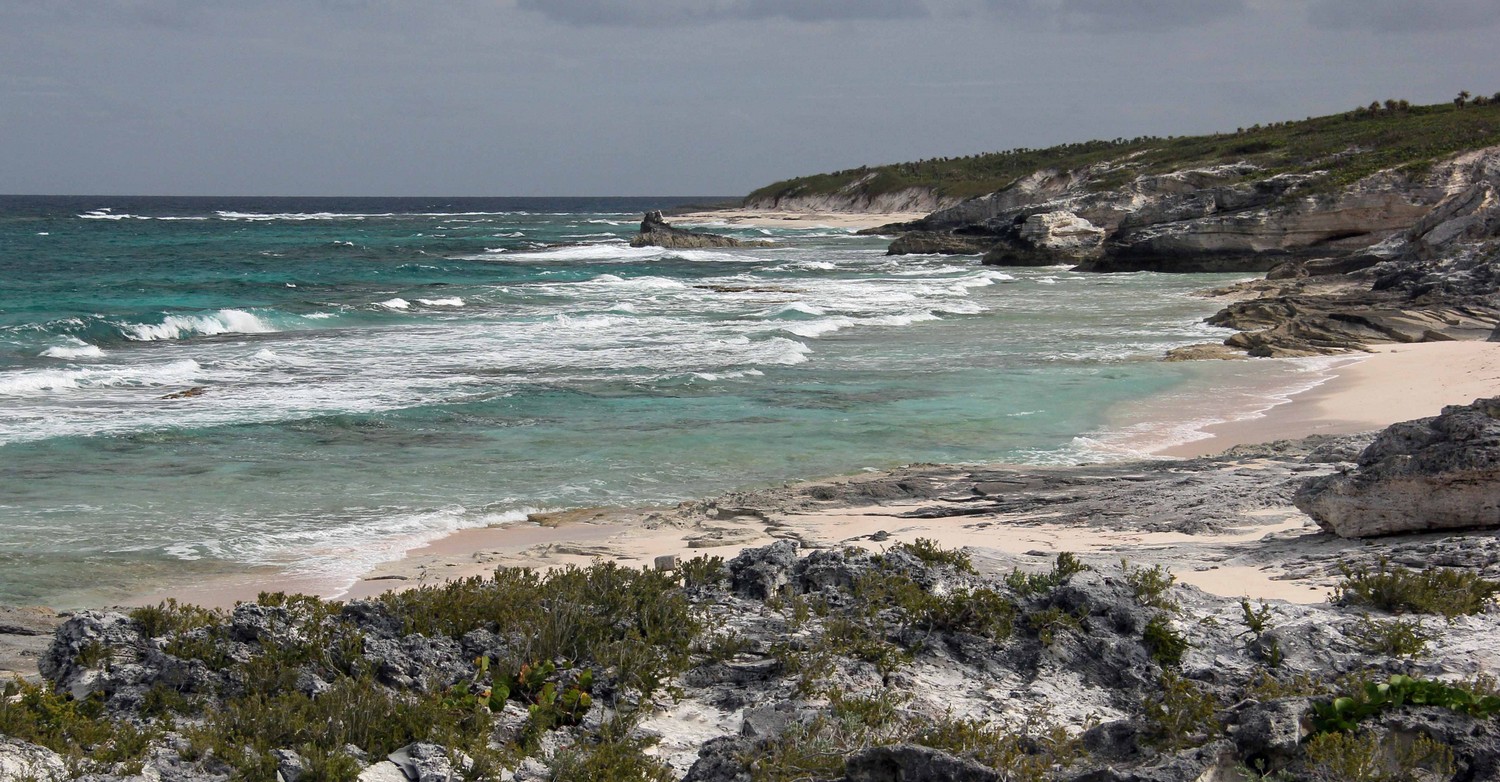
The beaches of south Salt Pond are similar to the beaches of McKinnons and Millers - not meant for swimming/snorkeling but for escaping. Except longer and lonelier. NOTE: These beaches are somewhat difficult to access because of the dunes. OK, now to the photos of what you’ll see when you get there.
Photos are roughly ordered from north to south. Being on the east side of the island, photos best taken in the morning.