Lochabar Beach, Long Island, Bahamas - The Beaches of Long Island
The Beaches of Long Island
The Beaches of Long Island
Lochabar Beach, Long Island, Bahamas
Near South > Great South Beaches
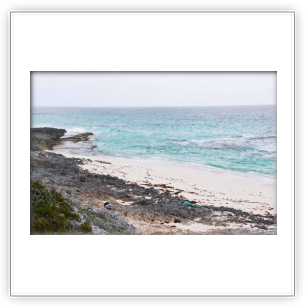
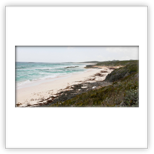
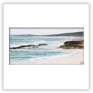
Well, this is one beach I never knew existed, or perhaps looked over, until I began research for this compilation, and more specifically began using googlemaps earthview. During a 2017 visit, made it a point to seek it out. And found it! Well, most of it. Well, a very small portion of it. And as I didn't walk it, can't tell you too much. But I do have photos.
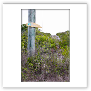
DIRECTIONS: Going south: After leaving Clarencetown, you'll pass Tommy's Tourist Inn and the Dept. of Health Services on the right. The next paved road to the left goes to the Taylor Plantation Ruins and a high hill with great views of Clarencetown, the harbour, the cays, and the Lochabar Point blue hole. It's a little under two miles to the next left hand paved road. There's an electric line and there may be some barrels along the road. This road will take you to the northern most part of Lochabar beach. There is a house overlooking the beach. Park north of the house. If you continue south another 1/4 mile you'll come to a road marked Ridge View Drive. Turn here and park at the sign that says "Beach Access." The walk goes up a somewhat rocky path that at the top of the ridge quickly begins to disappear. Apparently, no one has visited this part of the beach in quite some time as the path is overgrown. So bring a machete. The path, if it existed, would take you to the southern end of the northern beach. There is a much larger southern section to Lochabar and I know from Google earthview that there is a road that appears to go to a parking area with a path down to the beach that would put you about mid beach. Although it's only 1/2 mile south of Ridge View Dive, somehow I missed it. Heading north: from Dunmore, it should be 0.9 miles to the road (undiscovered) that takes you to the southern section of Lochabar beach and 1.4 miles to Ridge View Drive. The road to the northern section of beach is only 1/4 mile north. If you get to Tommy's Tourist Inn you've gone too far.


